
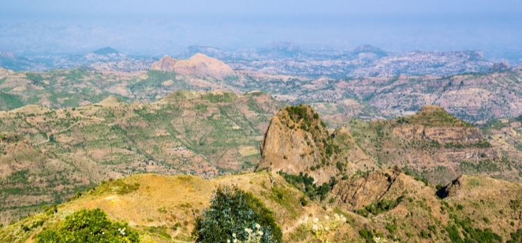
Ethiopia has an elevated plateau ranging in height between 2,000 to 3000 meters. In the north and south east part of the country there are high mountains whose picks rise to above 4,300 M. one of the biggest lake which is the source of famous Nile river is also found in the northern part of the country. Ethiopia also has two major favorable seasons which is categorized as wet and dry seasons. The rainy season normally starts mid-June and it will continue until early October but sometimes this pattern may change from the Rift Valley area (starting and ending a few weeks earlier than in the highlands) to the Omo Valley (concentrating the rainy season in March, April and May).
It is advisable to check the average temperatures of the region when you plan to visit due to this geographical variation. For example, on a trip to Southern Ethiopia temperatures are low and warm clothing is essential. In contrast, a trip to the North and the Danakil Depression, you can easily experience daytime temperatures above 50ºC (122ºF).
The Ethiopian climate is actually quite pleasant for tourism due to the altitude. Thus, on the historic North route situated in the Ethiopian highlands, temperatures vary on average of 15ºC (59ºF) and 27ºC (80ºF). On the other hand, in some southern areas of Ethiopia its warmer on average with temperatures reaching up to 32ºC (90ºF).